|
|
| 2012 09 03 |
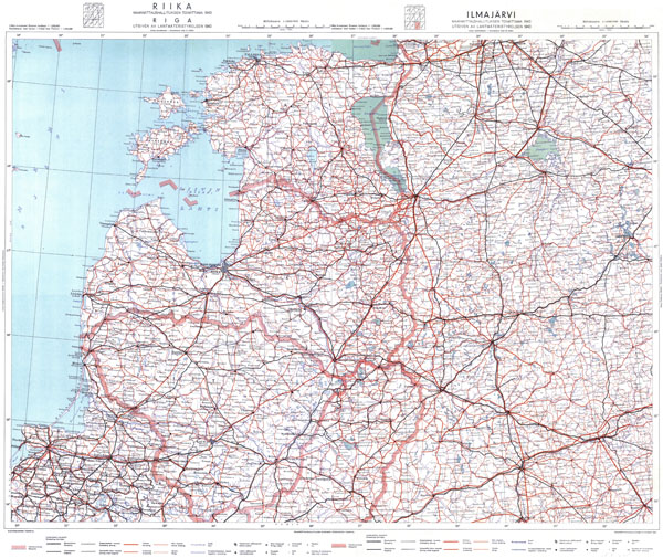 |
At new chapter FINNISH MAPS we are presenting 1:1000000 scale map of Finland (1943), in original named Liittyy 4-osaiseen Suomen Karttaan 1:1000000, in Swedish - Konnekterar med kartan April 1 blad över Finland 1:1000000, which displays also the Baltic States (Estonia, Latvia and Lithuania). |
|
· admin on 2012-09-03 21:36:35 ·
Read More ·
1896 Reads ·

|
|
| 2012 08 20 |
 |
2012 - year of famous Lithuanian poet Maironis. You know that Maironis also published book History of Lithuania (in original - Lithuanian - Lietuvos istorija su kunigaikščių paveikslais ir žemėlapiu). 3-rd edition of this book (1906) had map in Lithuanian named Map of Lithuania when dominated Vytautas Magnus (in original - Lithuanian - Lietuvos žemėlapis Vytautui Didžiajam viešpataujant). At chapter OTHER LITHUANIAN MAPS TILL 1918 you can see this map in full size. |
|
· admin on 2012-08-20 21:26:32
Read More ·
2036 Reads ·
|
| 2012 08 05 |
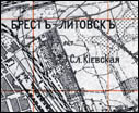 |
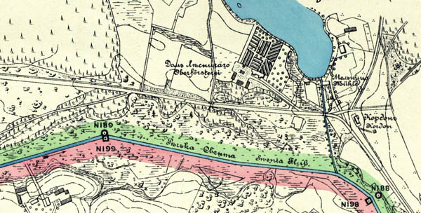
New maps supplemented set of 1-VERST MAPS (1:84000) of RUSSIAN EMPIRE (originally named Одноверстовая карта западного пограничного пространства/ maps of west border space). New maps covering territories of present Poland, Ukraine, Belarus. |
|
· admin on 2012-08-05 20:11:06
Read More ·
2045 Reads ·
|
|
 |
| 2012 07 23 |
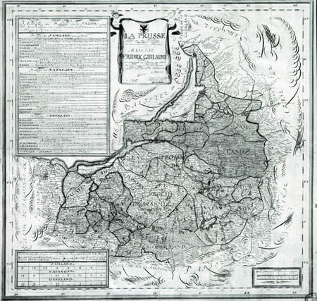 |
Chapter of OLD MAPS supplemented by maps on territories of Prussia (including Memel district): Fridric Guillaume "La Prusse divise en ses balliages et tres humblement presente a sa majeste Fridric Guillaume" (1726) and "Magna mappa Geographica Borussiae Regnum..." (Oesfeld, C.L, Sauerbrey, N.F., 1772 - 1786). |
|
· admin on 2012-07-24 09:05:46
Read More ·
2019 Reads ·
|
| 2012 07 13 |
 |
Chapter of OLD MAPS was supplemented by maps published by famous cartographer (XVII c.) of Grand Duchy of Lithuania Juozas Narūnavičius – Naronskis (Józef Naronowicz-Naroński) - map of Dukedom Biržai (1645) and map od district Memel (Klaipėda, 1670). |
|
· admin on 2012-07-13 12:34:07
Read More ·
2009 Reads ·
|
| 2012 07 04 |
 |
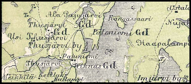
New maps supplemented catalogue of maps of Russian Empire named Military topographical map of European Russia (Военно-топографическая карта Европейской России) in scale 1:126000 (in inches three verst). Full list of available maps (Row IX-XVI) THERE, maps (Full size) on Lithuania territory THERE. |
|
· admin on 2012-07-04 21:32:56
Read More ·
2049 Reads ·
|
|
|
|
|
Not a member yet? Click here to register.
Forgotten your password? Request a new one here.
|
|