II WW German maps in scale 1:50000
During II WW German maps in scale 1:50000 (analogically as maps in scale 1:100000 ) on territories Estonia, Latvia and North Lithuania were combined by set maps "Ostland 1:50000". Maps on territories Russia, Belarus... were combined by set "Russland 1:50000". Normally maps from this sets have dimensions 10 min. latitude x 15 min. longitude. There was joined maps (4 maps in one sheet) which dimension were 20 min. latitude x 30 min. longitude. Longitude was considered from Greenwich.
Maps from sets "Ostland 1:50000", "Russland 1:50000" were produced using Russian RKKA maps (basically in scale 1:50000, sometimes 1:100000), Estonian maps in scale 1:50000, Latvian maps in scale 1:75000. Recognizing from air was used.
Maps usually were printed in color (2, 4 or 5 colors). Last editions sometimes were printed in one color.
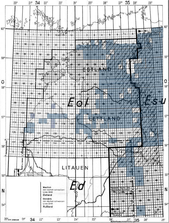
Index picture to maps from sets "Russland 1:50000", "Ostland 1:50000". Available digitalized maps are marked in blue. We are looking rest maps.
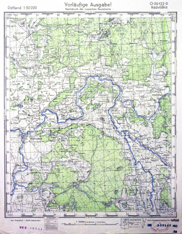
German map O-35-122-D, set Ostland 1:50000 (1944).
In 1942-1943 was published set of 15 maps on territories of Moscow and district originally named "Umgebungskarte von Moskau 1:50000". In collection we have this full digitalized set.
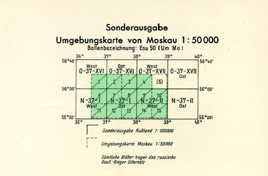
Index sheet to set "Umgebungskarte von Moskau 1:50000"
Last updates 05 MAY 2013


