|
|
|
Atlases published in inter-war Lithuania
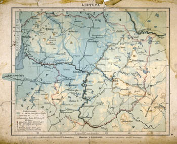 |
E.Debe Mazasis mokyklos atlasas (Small school Atlas) consists of 20 maps. Atlas designed to basic schools). Prepared A.Vireliunas. Publisher Svyturys, Kaunas-Vilnius 1923.
4-th map from Atlas - Lietuva (Lithuania). Scale 1:2000000
Link to map.
|
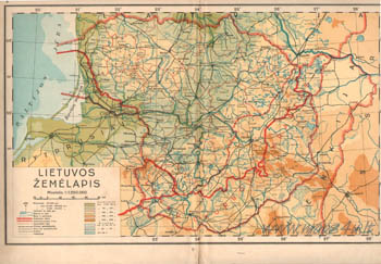 |
Peliksas Sinkunas Atlas of Geography. This is the first atlas in inter-war Lithuania prepared and published by Lithuanians Geographers in Lithuania's company. Size of atlas 33-25 cm, atlas consists of 24 sheets with 5 plans, 15 maps, 53 pictures. Published in 1938 in Kaunas by Spaudos fondas.
2 and 3 sheets of atlas - Lithuania, scale 1:1250000
Link to map
|
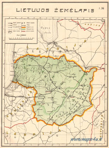 |
Album of diagrams published by Treasury of Lithuania (Office of statistic) in 1928. Original name Lithuania in digits (Lietuva skaitmenimis) 1918-1928. Two language (Lithuanian, French) publication imaged statistic of Lithuania in 1918-1928.
1 map from publication (5 sheet) map of Lithuania. Scale 1:3000000.
|
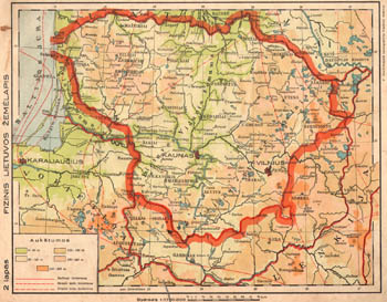 |
P.Mantnieks "Mazasis Geografijos atlasas" (Small geographical atlas) consists of 20 major and 10 additional maps. Publisher bookstore of A.Ptasekas in Kaunas. Maps similar to Big Geographical Atlas (see below).
2-th map from Atlas - Lithuania. Scale 1:1700000.
Link to map.
|
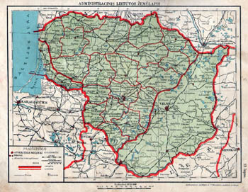 |
A.Osins and P.Mantnieks Geografijos atlasas (Geographical Atlas) consists of 70 separate maps on 22 sheets. Publisher - cartographical institute of A.Osins and P.Mantnieks in Riga.
14-th map from Atlas - Lithuania (administrative map). Scale 1:1700000.
Link to map.
|
|
|
P.Mantnieks "Didysis Geografijos atlasas" (Big geographical atlas)
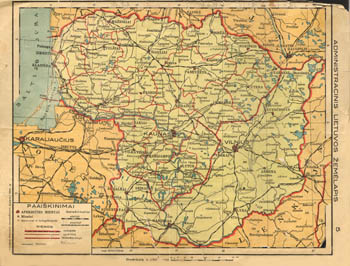 |
P.Mantnieks "Didysis Geografijos atlasas" (Big geographical atlas) consists of 32 major and 90 additional maps. Publisher bookstore of A.Ptasekas in Kaunas.
5-th map from Atlas - Lithuania. Scale 1:1700000.
Link to map
|
|
|
|
|
Not a member yet? Click here to register.
Forgotten your password? Request a new one here.
|
|

