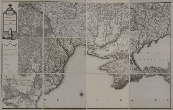
Detailed map of the Russian Empire and neighboring foreign holdings (1801-1816, 1:840000), index sheet (link)
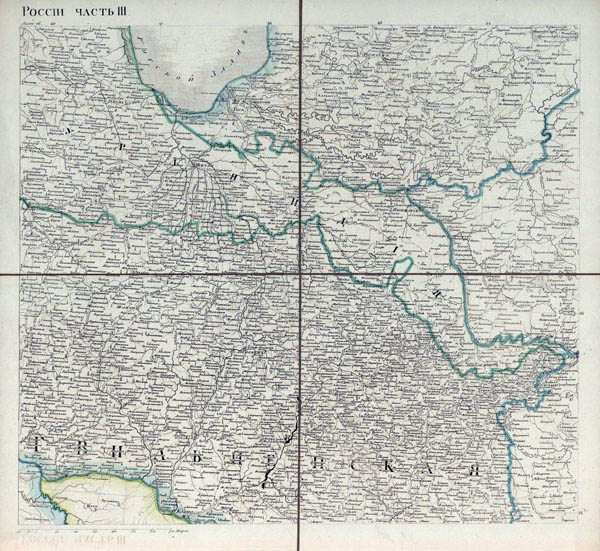
In 1801-04 (last editions were produced till 1820) the Depot of maps prepared and published the Detailed map of the Russian Empire and neighboring foreign holdings (or 100 sheet map, original name "Подробная карта Российской империи и близлежащих заграничных владений" or "Столистовая карта"), scale 20 miles to the inch (1:840000). 114 sheets of this map show (including the north) the territory of Russia from the borders of Poland in the west to the meridian of Tobolsk-Hiva in the east (see index sheet above). Size of maps 22x21 cm, maps printed in colour. Maps from this set was numbered by numbers from 1 till 100 (last edition till 104) or by letters from A till F (see index sheet). Lithuania pictured on sheets 5, 15, 16.
This map named "Detailed map of the Russian Empire and neighboring foreign holdings ...", known as "100 sheet map" was the first public multi-sheeted map of Russia. Certainly, important work Depot of maps, started under czar Павел (Pavel) and completed under Александр I (Alexander I). It was a unique map used in period of Russian-Napoleonic war in the campaign of 1812.
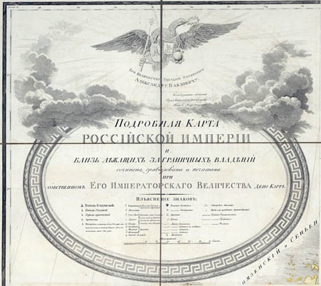
Title on map A from set Detailed map of the Russian Empire and neighboring foreign holdings (1:840000, 1816)
Map Nr. 5 from set Detailed map of the Russian Empire and neighboring foreign holdings (1:840000, 1816)
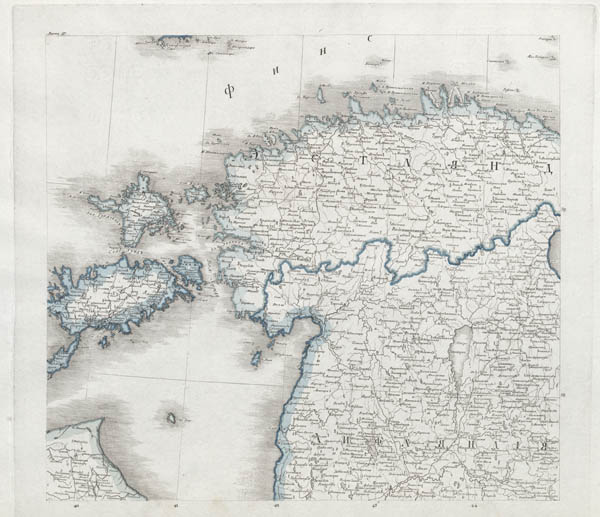
Map Nr. 15 from set Detailed map of the Russian Empire and neighboring foreign holdings (1:840000, 1816)
Map Nr. 16 from set
Detailed map of the Russian Empire and neighboring foreign holdings (1:840000, 1816). Map in
full size (link).
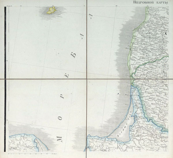
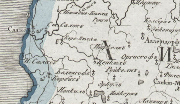
Map Nr. 17 from set Detailed map of the Russian Empire and neighboring foreign holdings (1:840000, 1816)
Fragment of map Nr. 17 from set Detailed map of the Russian Empire and neighboring foreign holdings (1:840000, 1816)
L.:
1. ЭФ РНБ
2. В.В.Глушков Становление и развитие военной картографии в России. 2003.