 |
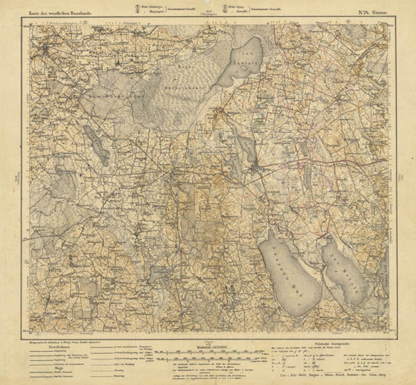
We updated description of the collection of German maps in scale 1:100000 from WWI period, Karte des Westlichen Russlands (map of western Russia). Maps of this collection were mainly made using 2 versts (1:84000) map of the western border area of the Russian Empire. New information supplemented section Atlases of the Russian Empire. |
We would like to thank Latvian colleagues for maps and new information.
We still are looking for different maps from set KdWR (different years of publishing, different background maps and etc.).
Full list of available KDWR maps is there.